Earth.Google.Com
This is a really cool product and fantastic time waster.
The masters at Google are now integrating maps, GIS and Satellite images. While you can go anywhere; the UK, Canada and USA are at the highest resolution with additional detail.
Google Earth streams the world over wired and wireless networks enabling users to virtually go anywhere on the planet and see places in photographic detail. This is not like any map you have ever seen. This is a 3D model of the real world, based on real satellite images combined with maps, guides to restaurants, hotels, entertainment, businesses and more. You can zoom from space to street level instantly and then pan or jump from place to place, city to city, even country to country.
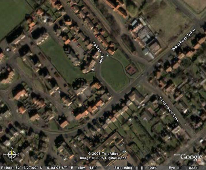
This image is a .jpg I cut from Google of our house in when we lived in Cambridge, England. The house is exact centre of the photo with a car out front. I found it by putting in the Post Code - Google Earth took me straight there...bloody impressive
This is a most impressive product. My mind is boggling at the applications. What we have here is layers apon layer of data - available free. The potential is limitless - no need to book the chopper next week for the éye-o-meter survey of land for development. Just do the initial run from the desktop.
Great images of New Zealand - not yet the same resolution/detail as the UK though. e.g I can't pick my house in Remuera.


No comments:
Post a Comment